River Erosion Tool
River Erosion Tool (RET) is an innovative, free-to-use remote sensing and GIS-based platform designed to monitor, map and analyze seasonal changes of large river systems in Southeast Asia.
RET provides seasonal insights into erosion and deposition patterns in some of the most rapidly changing river environments influenced by the region's intense monsoon rainfall, helping communities and policymakers better understand and manage the impacts of monsoon-driven rainfall. By offering information on potential hotspots prone to erosion, based on rate of erosion and population, the tool helps communities, policymakers, and scientists make informed decisions to manage river systems and mitigate impacts of river erosion, ensuring sustainable management of these vital ecosystems
Explore RET
FAQ's
Why the tool matters
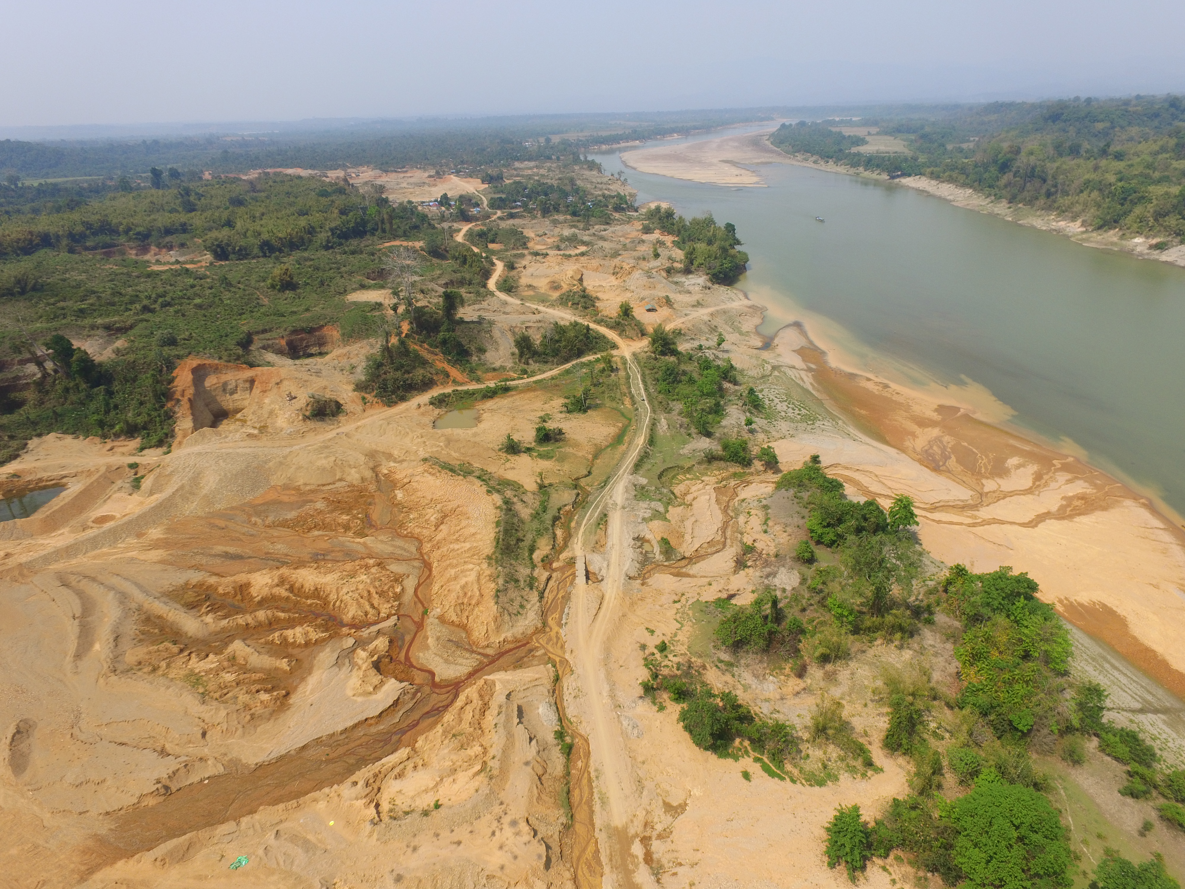
Changes in river morphology due to floods, erosion, and landslides are affecting ecosystem habitats and the
lives
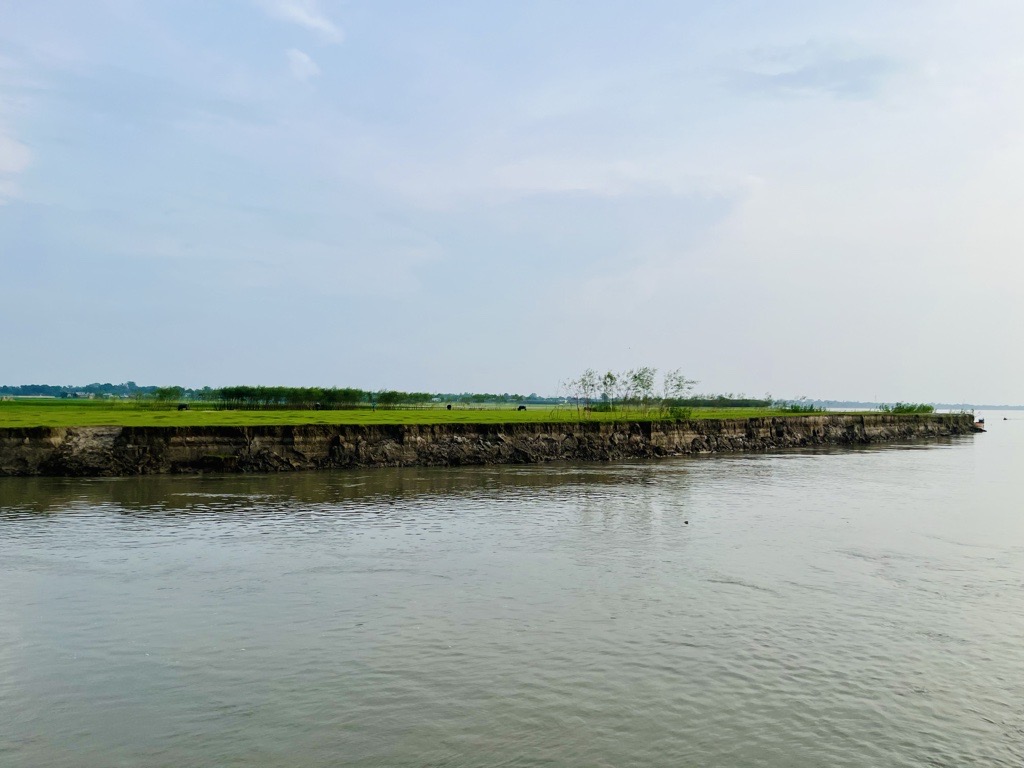
and livelihoods of communities living along larger river systems in Asia. Recurrent riverbank erosion and
collapse
of riverbanks have become more frequent, particularly during monsoon season, and due to climate change and
extreme
weather events. This forces people to relocate their homes and lose agricultural livelihoods.
RET provides information regarding the distribution of erosion and deposition at the end of every monsoon season
and
provide further analysis based on synergistic use of river morphology with land cover information and
population.
This tool can support government agencies in undertaking a rapid assessment of eroded areas and their impact on
different land-use patterns, which helps estimate the level of investment needed for river protection works and
compensation settlement.
How it can be used by stakeholders and policy-makers
RET is useful for stakeholders in charge of river and land systems management. At present the Directorate of
Water
Resources and Improvement of River Systems (DWIR), Myanmar is using this tool to undertake preliminary
assessment
of
morphological changes before initiating detailed post-monsoon survey of river sections requiring bank
protection.
The long-term (30 years) historical dataset on erosion and deposition areas can help DWIR to identify hotspots
and
plan appropriate mitigation and adaptation responses. Information provided to users can be further enhanced
through
the addition of census, infrastructure and socioeconomic layers.
The tool also supports the General Administration Department (GAD), Myanmar in identifying new land areas
created
by
deposition process. GAD has the mandate to allocate the new land for livelihood purposes. This dataset is useful
for
Department of Disaster Management (DDM), Myanmar to identify affected settlements and come up with a preliminary
estimate of compensation.
How the tool works
RET monitors the seasonal river course changes of the rivers in Myanmar using remote sensing images. The monitoring system enables large geographical coverage of river lengths for monitoring seasonal erosion and deposition induced by high monsoonal flows.
Read more about the development of tool here:
- • Bhatpuria, D., Matheswaran, K., Piman, T., Tha, T., & Towashiraporn, P. (2022). Assessment of Large-Scale Seasonal River Morphological Changes in Ayeyarwady River Using Optical Remote Sensing Data. Remote Sensing, 14(14), 3393. Read more
- • Tha, T., Piman, T., Bhatpuria, D., & Ruangrassamee, P. (2022). Assessment of riverbank erosion hotspots along the mekong river in cambodia using remote sensing and hazard exposure mapping. Water, 14(13), 1981. Read more
Learn more about river erosion
1. What is River Erosion?
River erosion occurs when the flowing water of a river gradually removes soil, rock, and other materials from the riverbed and banks. This process is continuous and can significantly alter the course of a river over time.
2. Types of River Erosion
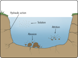
There are four primary types of river erosion:
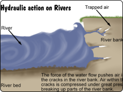
- Hydraulic Action: The force of water hitting the riverbanks and bed can cause them to break down and erode.
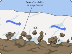
- Abrasion: The river's load, which includes rocks and sediment, grinds against the riverbed and banks, causing them to wear away.
- Attrition: Rocks and stones carried by the river collide with each other, breaking into smaller, smoother pieces.
- Solution: Water dissolves soluble minerals from the riverbed and banks, contributing to erosion.
3. Causes of River Erosion
Factors contribute to river erosion, including:
- Water Velocity: Faster-moving water has more energy, leading to more significant erosion.
- River Load: The more sediment and rocks a river carries, the more abrasive it becomes.
- Slope Gradient: Steeper slopes increase water speed, leading to more erosion.
- Vegetation: Lack of vegetation along riverbanks can lead to increased erosion, as roots help hold the soil together.
- Human Activities: Deforestation, construction, and farming near rivers can exacerbate erosion by destabilizing the land.
4. Effects of River Erosion
River erosion has several impacts on the environment and human activities:
- Formation of Landforms: Erosion can create valleys, gorges, and canyons.
- Loss of Land: Erosion can cause the loss of agricultural land and infrastructure near rivers.
- Sedimentation: Eroded materials are often deposited downstream, leading to sediment build-up, which can alter river courses and cause flooding.
- Ecosystem Changes: Erosion can change habitats for plants and animals, affecting biodiversity.
5. Prevention and Control
To manage and mitigate river erosion, several techniques can be employed:
- Riverbank Stabilization: Using vegetation, rocks, or engineered structures to reinforce riverbanks.
- Reforestation: Planting trees and other vegetation to stabilize the soil.
- Constructing Barriers: Building levees, dams, or retaining walls to control the flow of water and prevent erosion.
- Riprap: Placing large stones or concrete along riverbanks to protect against erosion.
6. Importance of Understanding River Erosion
Understanding river erosion is crucial for managing land resources, protecting infrastructure, and conserving ecosystems. By studying erosion patterns, we can predict changes in the landscape, plan for flood control, and develop sustainable land use practices.
7. Types of River Erosion
8. Causes of River Erosion
Main funding sources
River Erosion Tool is funded through SEI under the Tools development fund.
