Asia River Monitoring
an innovative platform offering a suite of free, interactive tools designed to provide crucial information on relationship between rivers, wetlands, and the communities they support.
Using state-of-the-art remote sensing and GIS technologies, our tools enable users to explore the environmental and socio-economic impacts of riverine, coastal and wetland ecosystems on communities. We encourage students, researchers, community advocates, policymakers or otherwise to use this platform and our tools and support in informed decision making for conservation and sustainable water resource management.
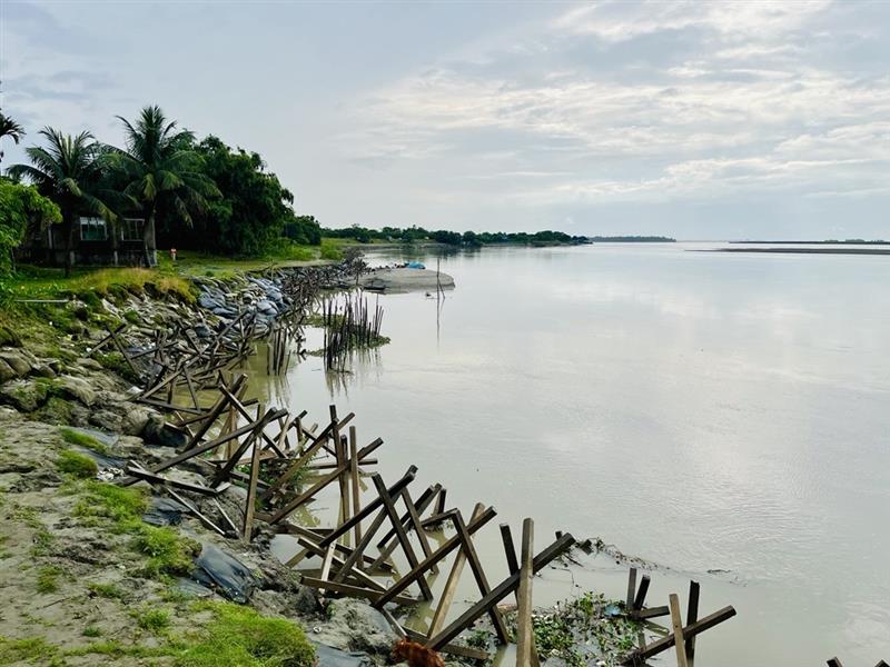
River Erosion Tool
River Erosion Tool (RET) is an innovative, free-to-use remote sensing and GIS-based tool designed to monitor and analyze seasonal changes of riverbanks in Southeast Aisa.
Launch Tool
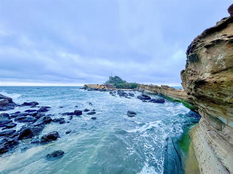
Coastal Erosion Tool
Coastal Erosion Tool (CET) is an innovative, free-to-use remote sensing and GIS-based tool designed to monitor and analyze seasonal changes of coastlines in Southeast Aisa.
Launch Tool
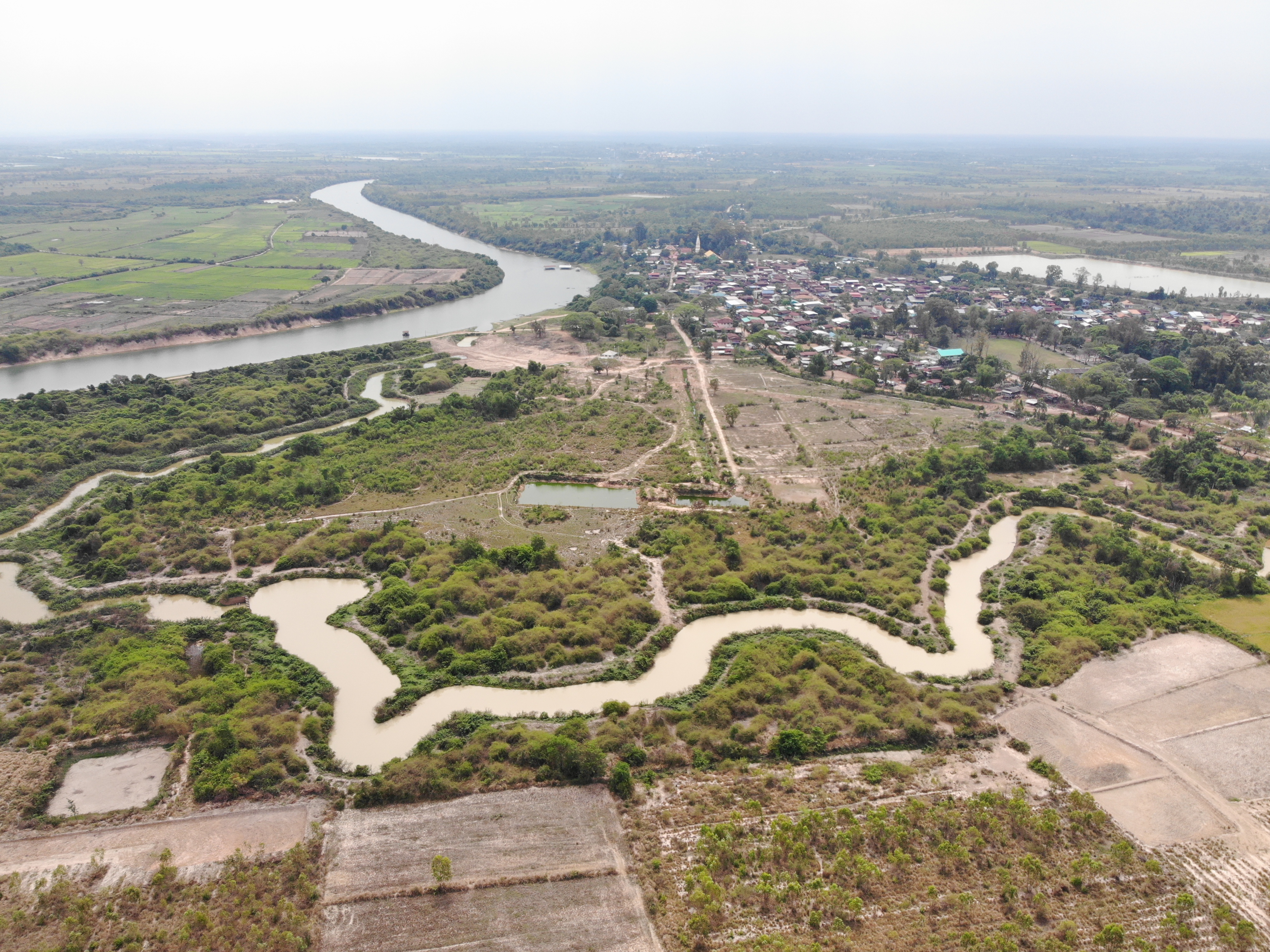
Wetland Monitoring Tool
Wetland Monitoring Tool (WMT) is an innovative, remote sensing and GIS-based tool designed to monitor and analyze wetland dynamics at high resolution.
Launch Tool